The department offers remote sensing and GIS subject to undergraduate 4th year and post graduate students from Civil Engineering. Its aim is to contribute the knowledge of Remote Sensing and GIS technology through capacity building, carry out the research and apply in practical needs of regional development.
Historical Background
Remote Sensing Department has been established in 15th February 2001 in Yangon as the first Myanmar-India Friendship Centre for Remote Sensing and Data Processing (RSDPC) with the Initiative of Ministry of Education (Formerly, Ministry of Science and Technology (MOST)), Myanmar and Indian Space Research Organization (ISRO), India.
In 2007, Myanmar-India Friendship Centre for Remote Sensing and Data Processing (RSDPC) was renamed as Remote Sensing Department under the Mandalay Technological University (MTU), Ministry of Education. As human resources development, the first Post Graduate Diploma Course on Remote Sensing and GIS could be opened with thirteen trainees at Remote Sensing Department, MTU in 2007-2008.
Vision
To become an Excellent Remote Sensing and GIS Research Centre
Mission
To enhance research capacities in remote sensing and GIS
To carry out researches in remote sensing and GIS for regional developments
To support ,contribute and train the remote sensing and GIS technologies in country needs
Current Course Offered
Remote Sensing & GIS subject has been offered to Master & Ph.D Civil Engineering Students, and Photogrammetry and remote sensing Subject to undergraduate Fourth year students of Civil Engineering for one semester each.
Degree: Ph.D (Electronics), P.G. Diploma in Remote Sensing and
GIS (India) Research Interest: Remote Sensing and GIS applications, Disaster
Risk Management, Natural Resources
Management, Land Use/Land Cover Change
Sr.
Name
Degree
Position
Email
Research Field
1.
Daw Aye Mya Thein
M.Sc(Engg: Physics), M.A.Sc (Computer), P.G Diploma in (SATMET), India
Associate Professor
ayemyathein@mtu.edu.mm
Remote Sensing and GIS applications, Disaster Risk Management, Natural Resources Management, Land Use/Land Cover Change Analysis
2.
U Kyaw San
M.S(Aqua-technology), P.G Dip in RS & GIS
Lecturer
kyawsan@mtu.edu.mm
3.
Daw Paing Nyo Nyo Thin
M.S(Aqua-technology), P.G Dip in RS & GIS (IIRS, India)
Lecturer
paingnyonyothin@mtu.edu.mm
4.
Daw Myint Myint Sein
M.S(Geography),
P.G Dip in RS & GIS
Lecturer
myintmyintsein@mtu.edu.mm
5.
Daw Swe Hnin Maung
M.Sc (Geology), P.G Dip in RS & GIS
Assistant Lecturer
swehninmaung@mtu.edu.mm
Research Activity
Areas of Research: Land use / Land cover change analysis and mapping, Disaster Risk Management, Agricultural applications etc.
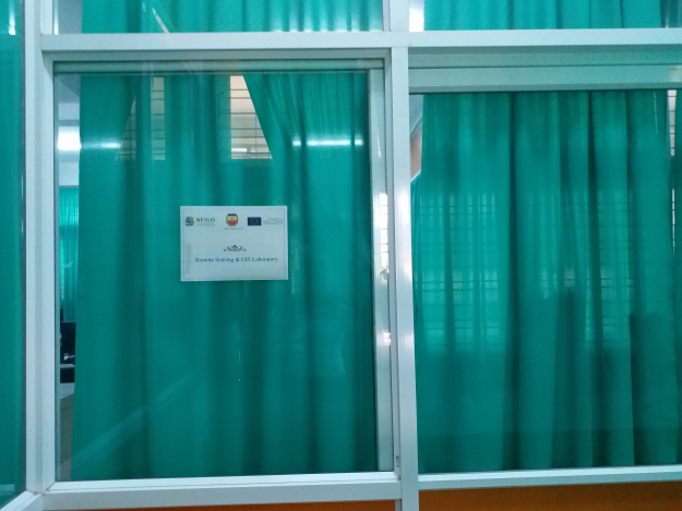
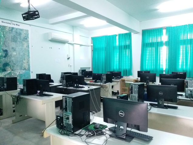
Upgraded Remote Sensing and GIS Laboratory
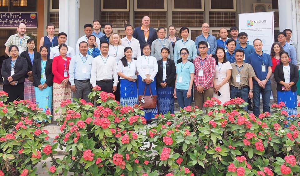
The department has upgraded the existing remote sensing and GIS laboratory with the lab equipment purchased by the NEXUS project fund, which are Dell Desktop core i5 Computers, ENVI-IDL 10 users’ license software, DJI Phantom4 Pro+ Drone, projector, printer and laptop computers etc. That lab will further be used in capacity building of remote sensing and GIS subject and researches at remote sensing department, MTU.
Remote Sensing and GIS Technology are very useful tools which can be used in a wide range of applications such as in food, industrial, environmental, natural resources management and agricultural sectors, etc.
Contact Info
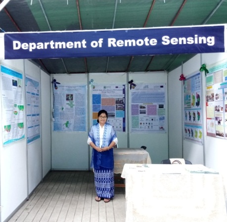
Remote Sensing Department
Main Building Department of Remote Sensing Mandalay Technological University Patheingyi Township Mandalay, Myanmar